GPS (Global Positioning System) is a satellite system designed for position determination, navigation and accurate-time transfer. It has been set up by the USA Department of Defense. It is intended for users of two categories: the military and the civilian. The former can operate with a higher precision level (PPS - Precise Positioning Service), and the letter with a reduced one (SPS - Standard Positioning Service). PPS is available only for some, mostly military users, and SPS to everybody.
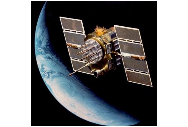
GPS is based on precise measurement of the time spent by the signal on its way from the transmitter (satellite) to the receiver (user). 24 active satellites are distributed in six orbital planes, encircling the Earth once in approximately 12 hours, at the altitude of 20.000 km. Such distribution makes it possible that practically any time, on every spot of the Earth's surface at least four satellites are visible. Exactly so many satellites are necessary for the determination of the receiver's geographic co-ordinates (x, y, z) and the deviation of the receiver's internal time from the GPS system's time. The satellites are controlled via the control stations located on the Earth. In these stations, on a regular basis, precise orbital parameters and deviation of the satellites' atomic clocks from the system's time-measurement are determined and sent to the satellites.
In 1980, the GPS system's time was equal to the UTC time. Today, both time values differ by the several seconds that have been added so far to the UTC time in order to compensate for the Earth's actual rotation time. This difference is available among the data transmitted by the satellites. The clocks we produce take this difference into consideration, so they measure the UTC time and/or the corresponding local time.
Image sources:
http://commons.wikimedia.org/wiki/File:Navastar-2.jpg
http://commons.wikimedia.org/wiki/File:ConstellationGPS.gif
